3D Gallery
Maps: How We Drew What We Did Not Know
Enter gallery
Maps: How We Drew What We Did Not Know is a 3D virtual gallery on MyGallery3D, a walkable online exhibition of 12 works. Step inside and explore it in your browser: no app, no headset.
Welcome to a 3D virtual gallery you can walk through in your browser, exploring how humans mapped worlds they had never seen.
The word map comes from the Latin mappa mundi*, meaning "cloth of the world." A napkin became a planet. One of the oldest surviving maps is a small clay tablet from about 2300 BCE, found in the Akkadian Empire, showing a river valley between two hills. From that scratched clay to satellite imagery, every map is an argument about what matters enough to draw.
In 1569, Gerardus Mercator published a projection that let sailors plot a constant compass bearing as a straight line. It transformed navigation. It also warped the world: Greenland appears the size of Africa, though Africa is 14 times larger. Critics argue this inflation of northern landmasses shaped how people valued equatorial nations. The projection was so misleading it was suspected of fuelling territorial ambitions as recently as 2025.
When Europeans reached Central and South America and Oceania, they found maps already in use for navigation, administration, and commerce. A Chinese map from about the 4th century BCE shows more sophistication than contemporary European ones. An Aboriginal Australian artifact possibly 20,000 years old may depict the Darling River. Mapmaking was not a European invention. It was a universal human impulse, independently repeated across cultures and millennia.
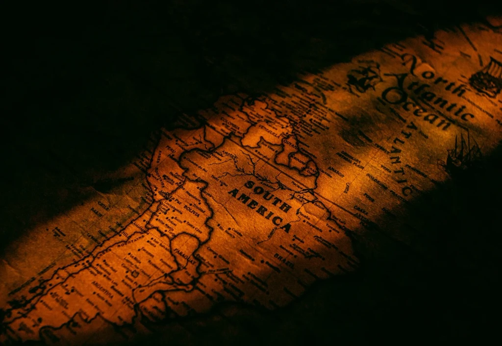
Warm light transforms this vintage map into a glowing historical object. The staging emphasizes maps as artifacts of curiosity, shaped by what their makers could see and imagine.
Photograph by Nothing Ahead, via Pexels.
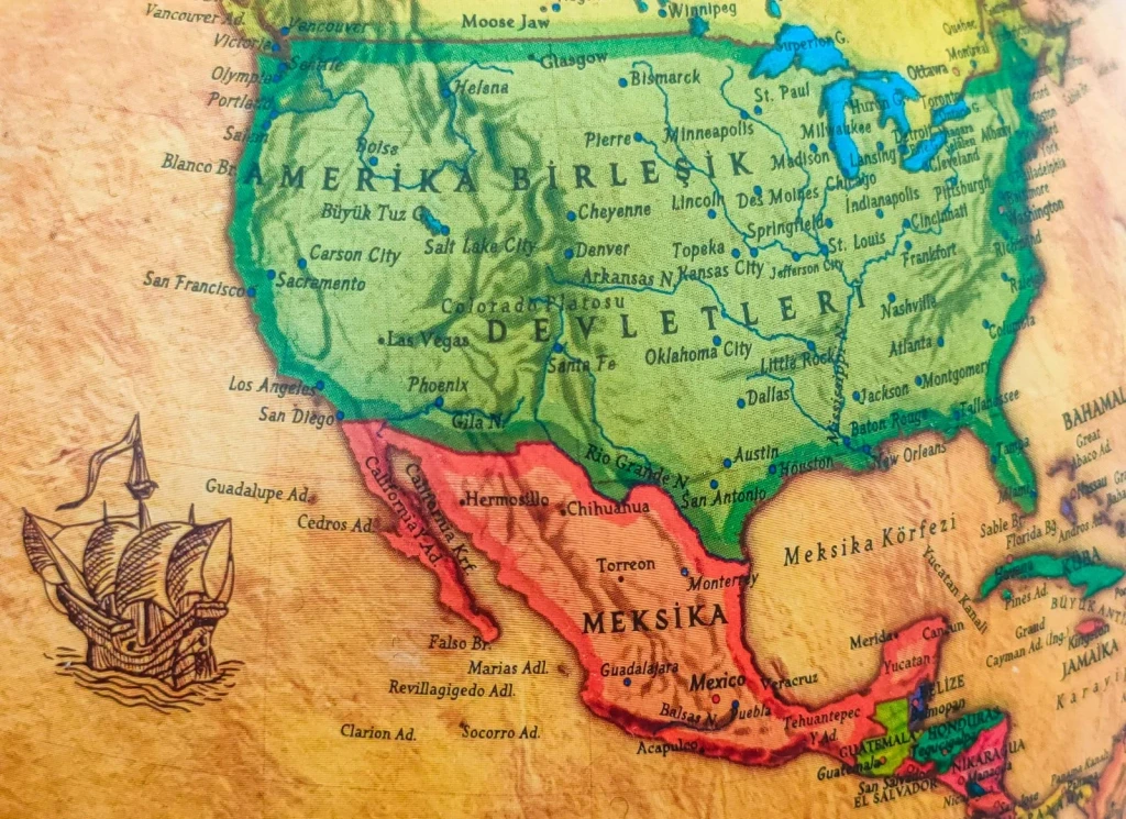
Historic geography rendered alongside a ship drawing. The maritime imagery hints at exploration and the routes used to chart unknown coastlines.
Photograph by Tuğba, via Pexels.
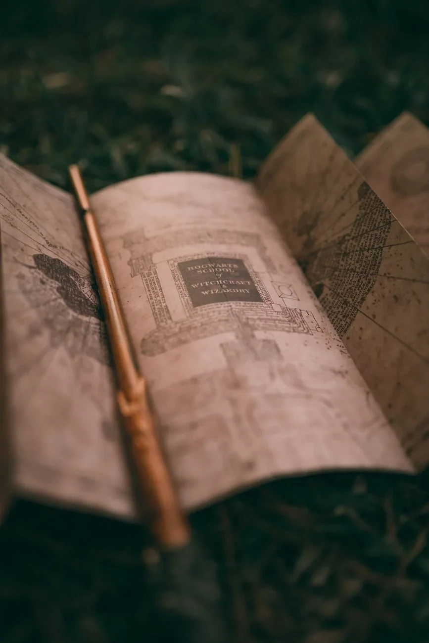
An antique map and wand lie on grass, suggesting exploration and wonder. The photograph evokes the romance of mapping what lay beyond the known.
Photograph by Alexander Mass, via Pexels.
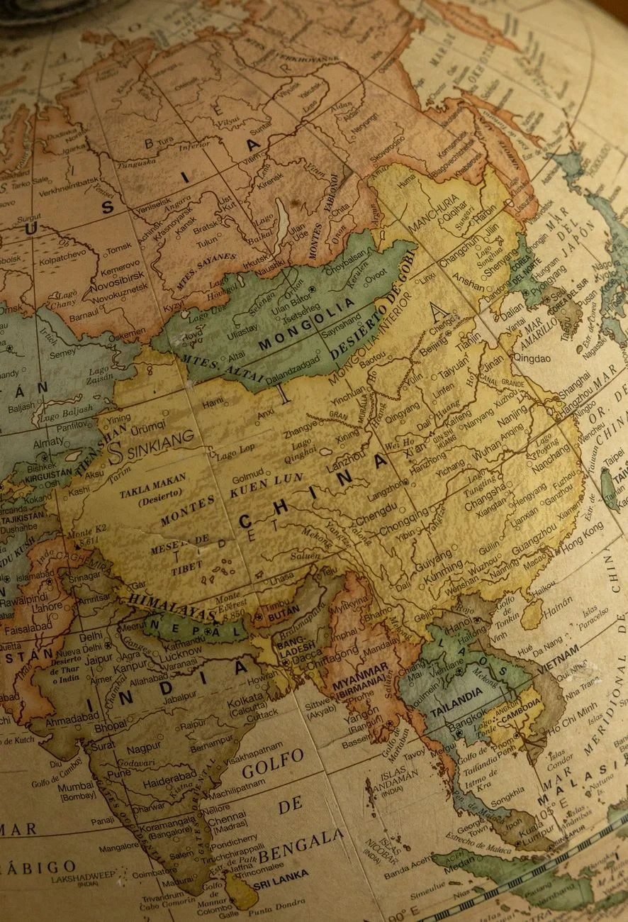
An antique globe highlights China, Russia, and East Asia with marked emphasis. The photograph examines how we have always tried to define distant lands through line and name.
Photograph by Amar Preciado, via Pexels.
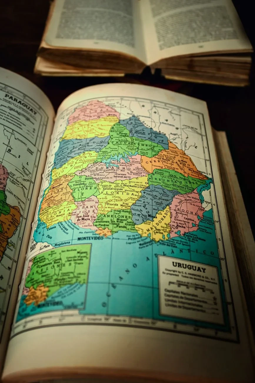
A colorful fragment of South America within an old atlas. The regional focus shows how mapmakers divided and categorized unfamiliar territories.
Photograph by Arturo Añez., via Pexels.
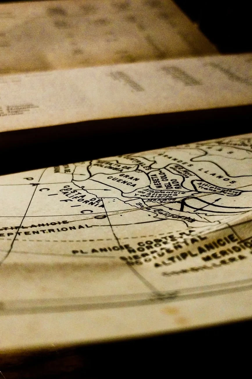
A detailed record of how the world was once drawn. Cartographic choices reflect knowledge, assumption, and the limits of what was known.
Photograph by Gabriel González Encarnación, via Pexels.
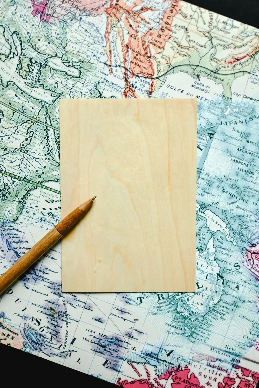
A card and pen rest on a world map, ready for annotation or inscription. The empty card mirrors the exhibition's theme: what remains to be drawn or discovered.
Photograph by Eva Bronzini, via Pexels.
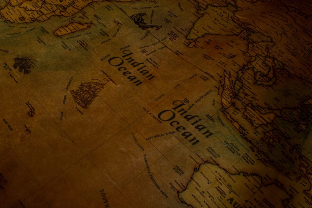
A close examination of how cartographers rendered a vast ocean. Geography made tangible through intricate lines and notations on aged paper.
Photograph by Nothing Ahead, via Pexels.
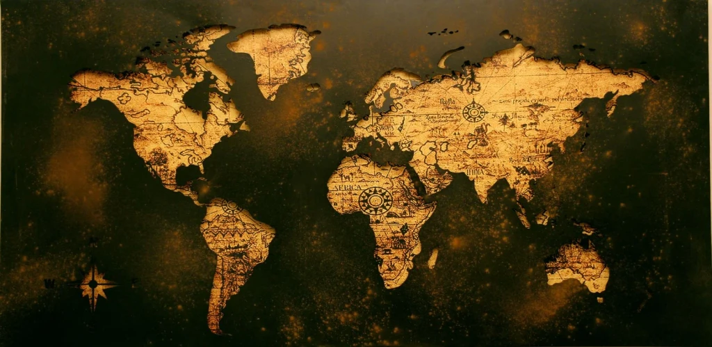
A comprehensive view of world geography rendered in vintage style. Historical cartography reveals what mapmakers chose to show, and what they left blank.
Photograph by Aaditya Arora, via Pexels.
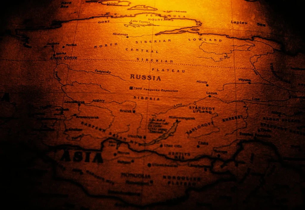
A sepia-toned close-up renders vast territories in warm, aged tones. The photograph considers how maps give shape to regions that mapmakers often drew from incomplete knowledge.
Photograph by Nothing Ahead, via Pexels.
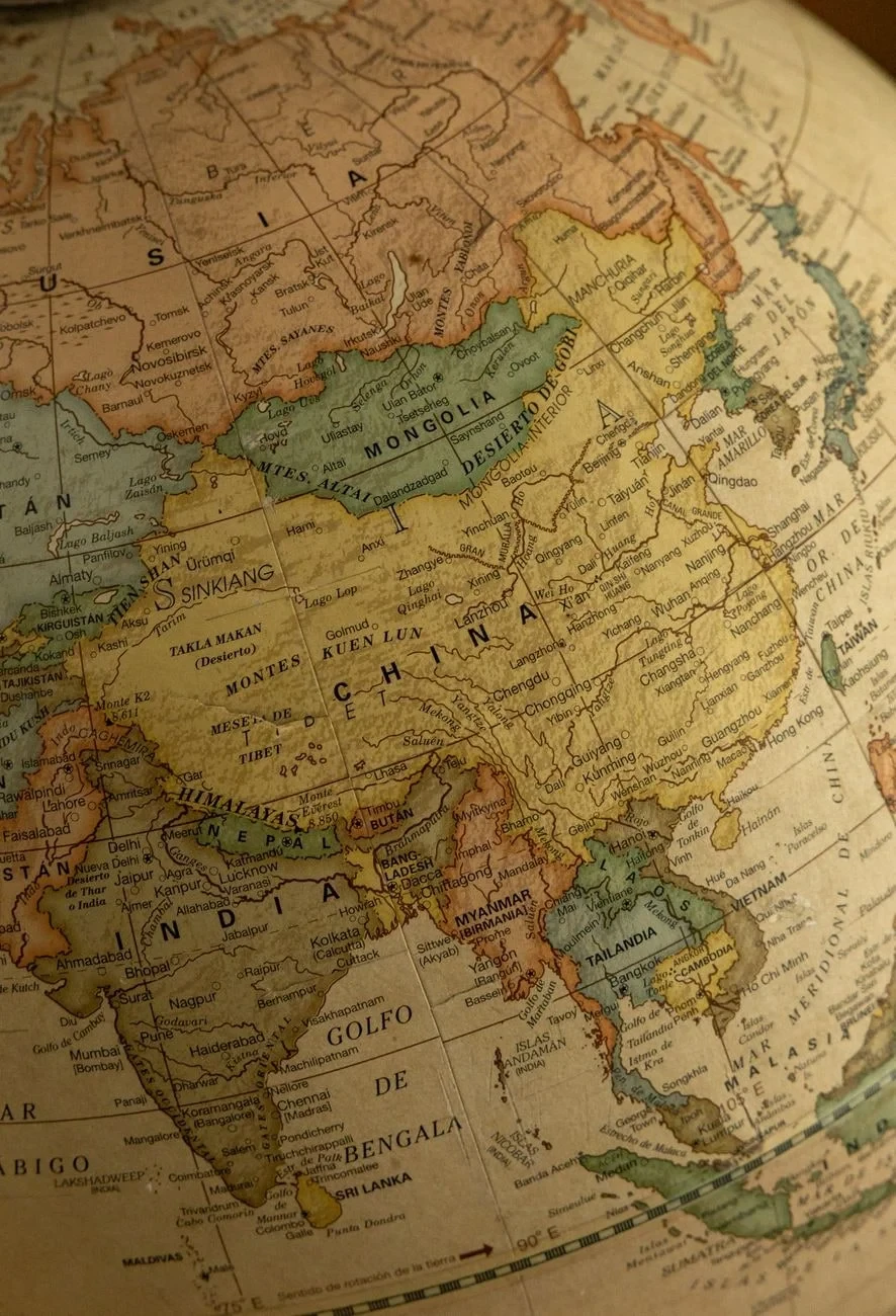
China, Mongolia, India and their neighbors fill this detailed vintage view. The image asks: what did the mapmaker know, and what did they guess?
Photograph by Amar Preciado, via Pexels.
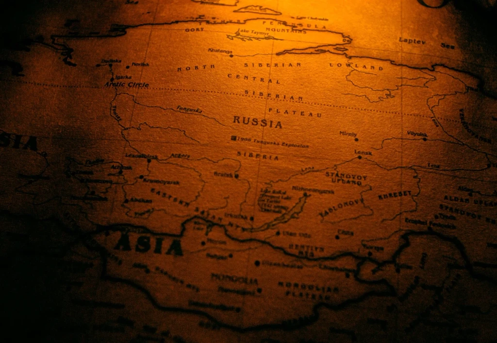
An expansive landmass captured in warm, faded tones. The map's antiquing suggests age, yet raises questions about when and how this rendering was made.
Photograph by Nothing Ahead, via Pexels.
