3D Gallery
How Salt Built Cities
Enter gallery
How Salt Built Cities is a 3D virtual gallery on MyGallery3D, a walkable online exhibition of 13 works. Step inside and explore it in your browser: no app, no headset.
This is a 3D virtual museum of salt, and you can walk through it in your browser. Salt is cheap now. For most of history it was not, and the map of Europe still shows where it was.
What is thought to be the earliest known town in Europe, Solnitsata in Bulgaria, was built around a salt production facility, supplying the Balkans from 5400 BC. Munich was founded in 1158 when Henry the Lion decided the bishops of Freising no longer needed their salt revenue. Cities grew where the salt was, or where it had to pass.
The Wieliczka mine near Kraków was excavated from the 13th century and produced table salt until 1996. It reaches 327 metres down, and its passages and chambers run for over 287 kilometres. Casimir the Great drew over a third of his revenue from salt mines in the 14th century. Miners carved four chapels and dozens of statues out of the rock salt underground.
The gabelle, the French salt tax, was enacted in 1286 and applied unevenly: by the 18th century salt cost 20 times more in Paris than in Brittany, which encouraged smuggling. Its injustice was one of the reasons for the French Revolution. Abolished, then reinstated by Napoleon, the tax was not ended for good until 1945. In 1930, Gandhi marched to make salt from the sea against the British salt tax.
Global production runs to around three hundred million tonnes a year, and only a small percentage of it is eaten. Most becomes feedstock for chemicals: caustic soda, chlorine, polyvinyl chloride, plastics, paper pulp. The rest conditions water and de-ices highways. Before the Industrial Revolution, mining it was among the most expensive and dangerous work there was, often done by slaves or prisoners, and life expectancy was low.
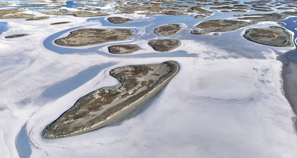
Salt flats and blue lagoons create stunning natural patterns in this aerial spring landscape. Water and mineral deposits form a working terrain.
Photograph by ÖMER ŞAHİN, via Pexels.
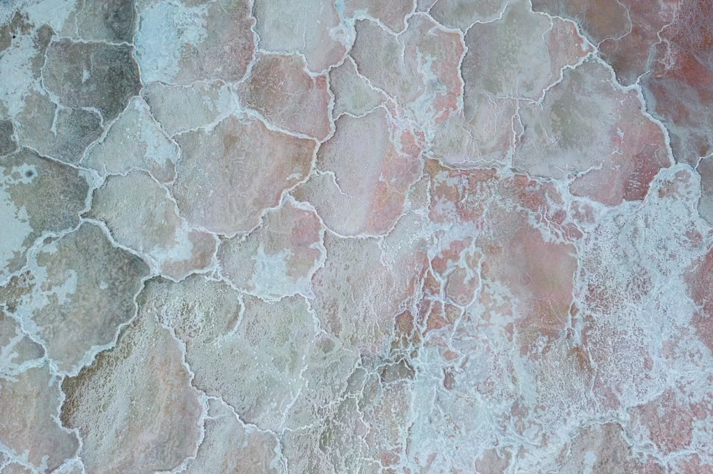
An aerial view reveals the intricate patterns and shifting colors of natural salt ponds. These geometric formations show how salt extraction shapes the landscape.
Photograph by Zetong Li, via Pexels.
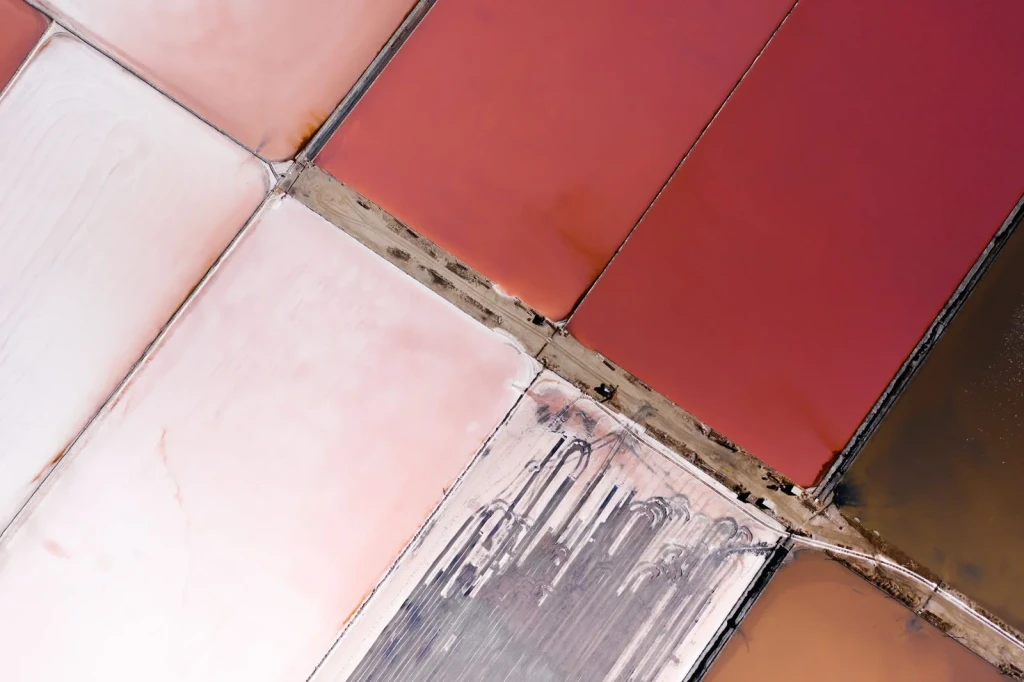
From above, salt ponds form geometric shapes in shades of red and pink. Human intervention transforms salt harvesting into visual order.
Photograph by Mikhail Nilov, via Pexels.
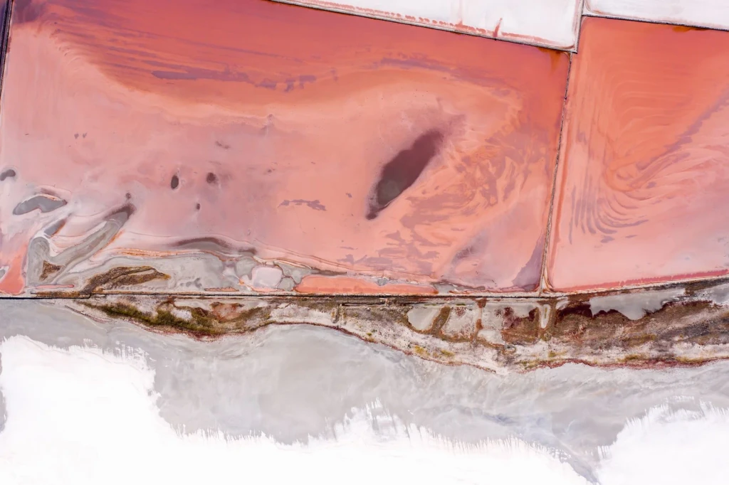
Pink salt pans blend into abstract patterns when seen from above. Color and geometry emerge from the salt-making process.
Photograph by Mikhail Nilov, via Pexels.
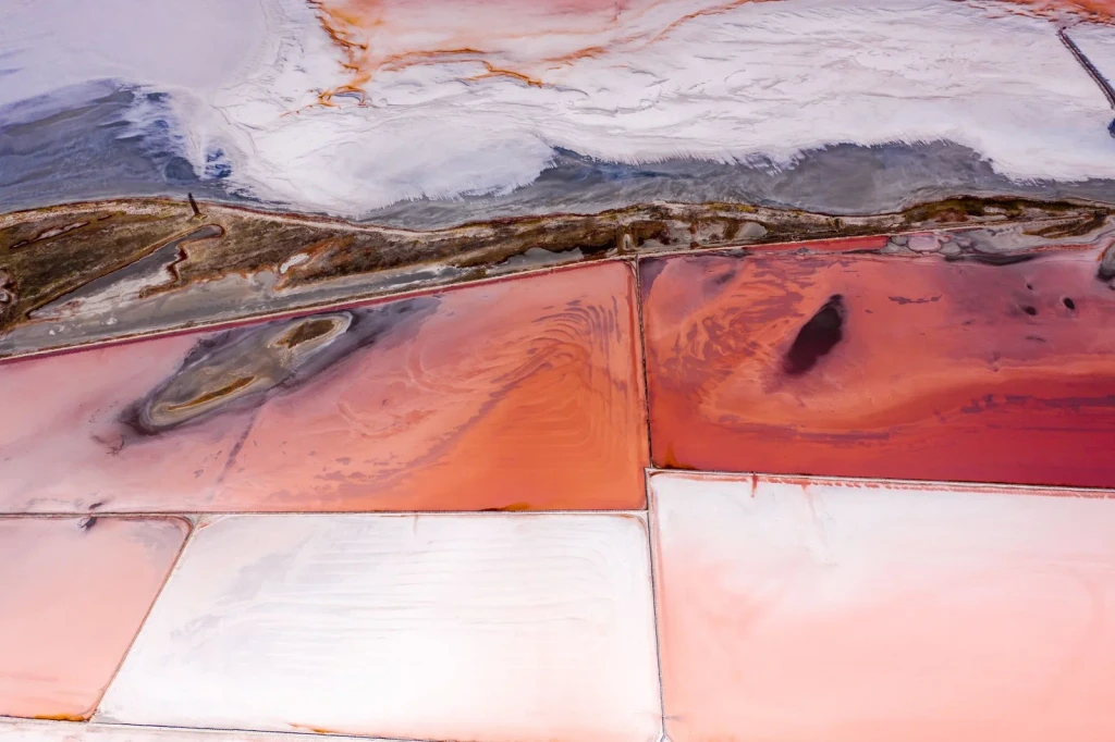
An aerial view reveals the vibrant colors and patterns of salt flats. From this height, we see the landscape shaped by the work of extracting salt.
Photograph by Mikhail Nilov, via Pexels.
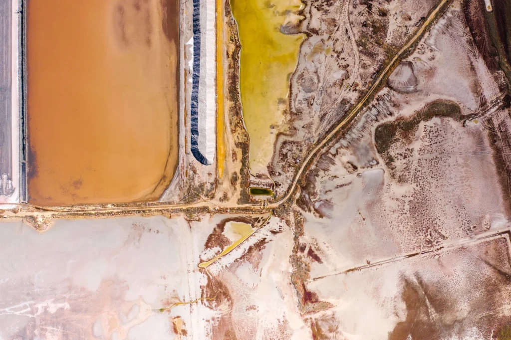
This aerial shot shows vibrant salt pans across diverse terrain. The shifting colors document a landscape shaped by salt production.
Photograph by Mikhail Nilov, via Pexels.
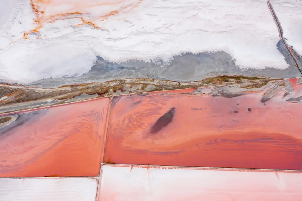
Striking pink and white patterns mark the salt flats. The landscape becomes a canvas of natural and industrial design.
Photograph by Mikhail Nilov, via Pexels.
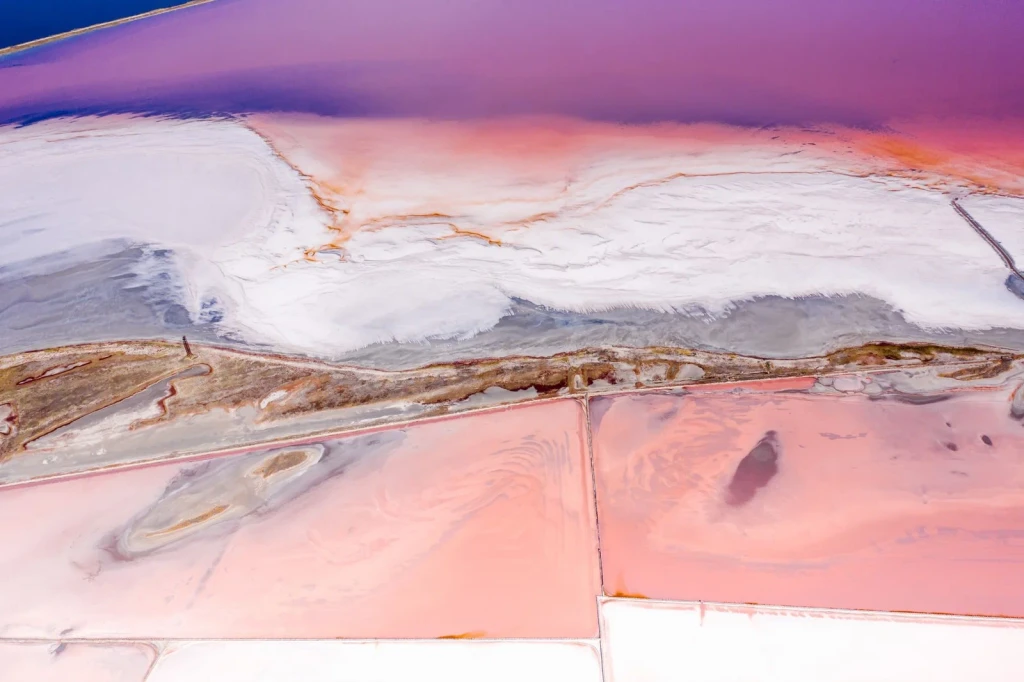
Pink salt flats display remarkable color variations from the air. Each shade tells a story of salt extraction and environmental conditions.
Photograph by Mikhail Nilov, via Pexels.
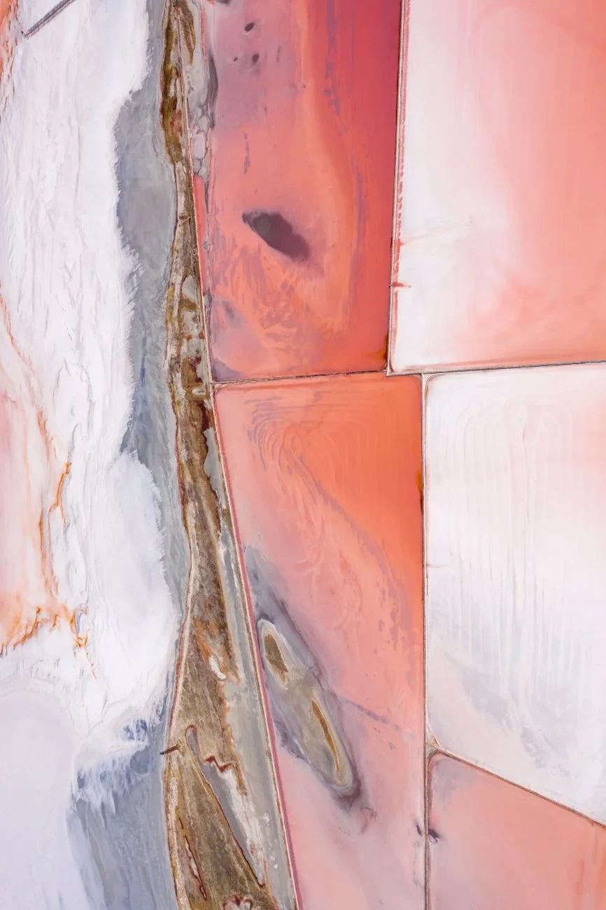
A drone captures the geometric patterns of pink salt flats from above. These abstract forms are the visible trace of salt harvesting.
Photograph by Mikhail Nilov, via Pexels.
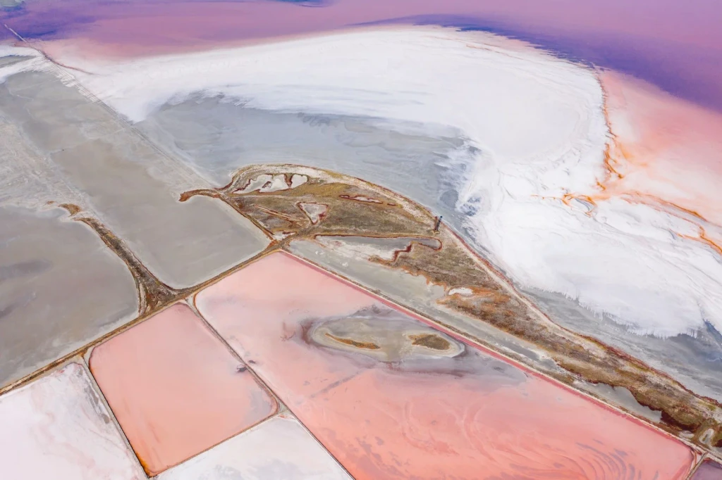
Vast salt flats display vivid colors and abstract patterns. Nature and industry collaborate to create unexpected beauty.
Photograph by Mikhail Nilov, via Pexels.
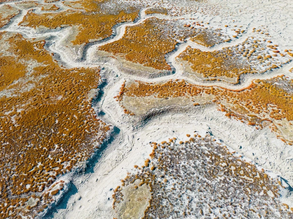
An aerial perspective reveals the texture of salt flats and desert terrain. Natural forces shape the landscape into intricate patterns.
Photograph by Zetong Li, via Pexels.
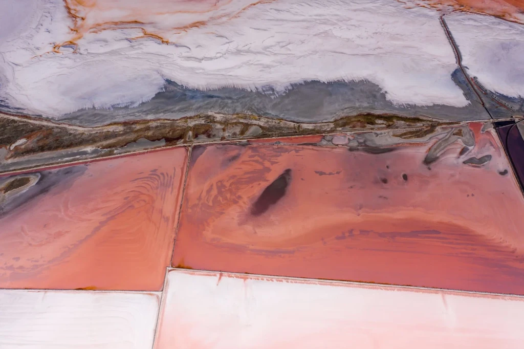
Salt ponds display striking pink and white hues in this aerial photograph. The colors hint at the chemical and biological processes that transform salt water into harvestable minerals.
Photograph by Mikhail Nilov, via Pexels.
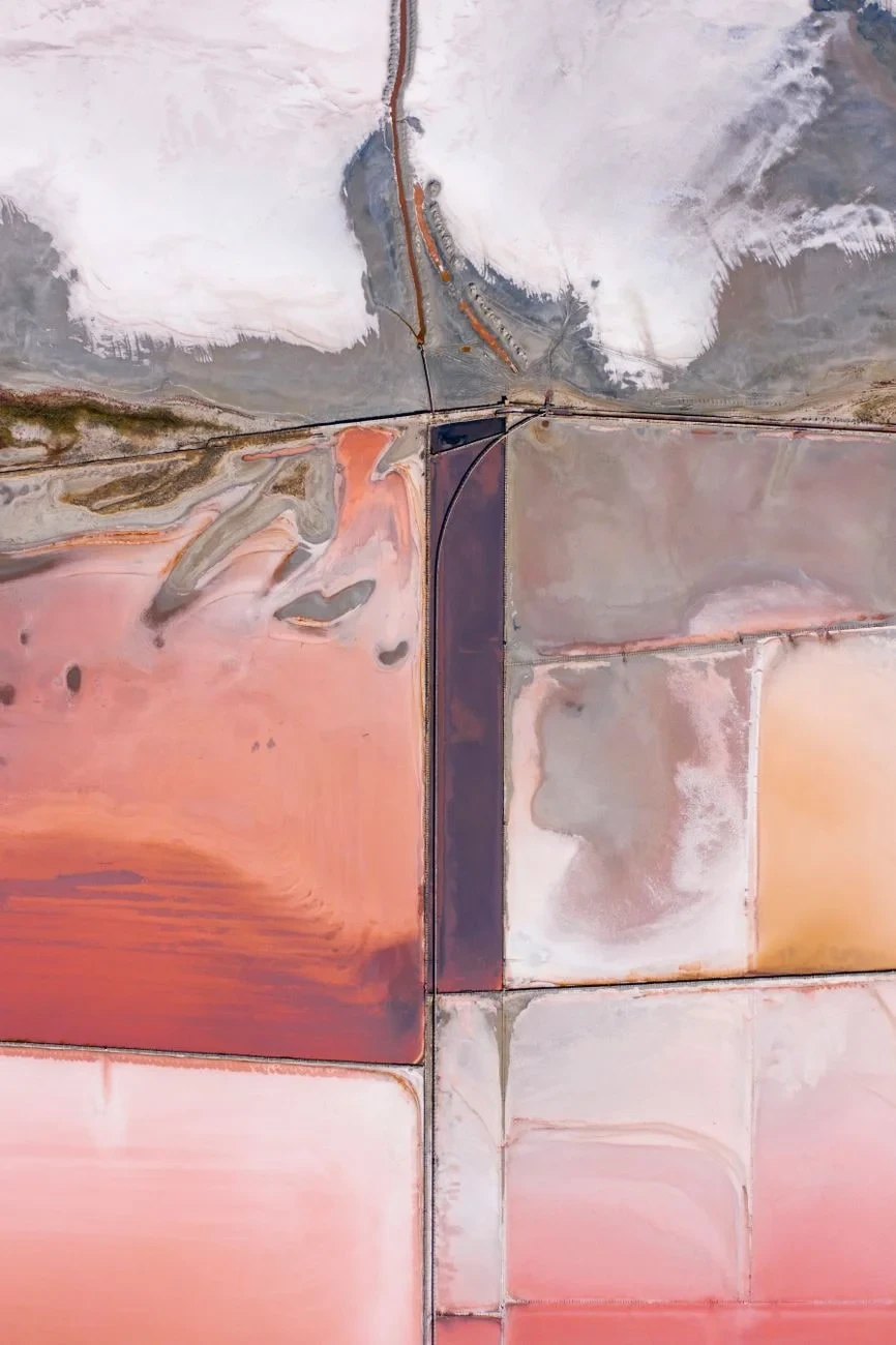
Vibrant pink and orange hues dominate this aerial view of salt flats. The colors mark zones where salt extraction and natural processes intersect.
Photograph by Mikhail Nilov, via Pexels.
