3D Gallery
Sail by Starlight
Enter gallery
Sail by Starlight is a 3D virtual gallery on MyGallery3D, a walkable online exhibition of 14 works. Step inside and explore it in your browser: no app, no headset.
This 3D virtual museum of celestial navigation opens in your browser: walk it, and look at what a ship had before satellites.
Latitude was the easy half. Measure Polaris at 10 degrees above the horizon and you are about 10 degrees north of the equator. Longitude was a clock problem, and a brutal one. Every four seconds of error in your timepiece moves your position one nautical mile. John Harrison built five chronometers over more than three decades and fought the Board of Longitude for the top reward of £20,000, finally paid in 1773 after Parliament intervened.
A celestial body sits directly over one point on Earth at any instant. Measure its angle above the horizon and your position is somewhere on a huge circle drawn around that point. Take a second body and the circles cross. Most navigators use sights of three to five stars, so the lines close into a triangle, and the size of the triangle is the size of your error.
Astrolabe means star-taker. In the 10th century al-Sufi described over 1,000 different uses for it: astronomy, astrology, navigation, surveying, timekeeping, prayer, and the Qibla, the direction of Mecca. It is a flat, portable model of the visible half-dome of the sky. On land or a calm sea it gives latitude reliably; on the heaving deck of a ship it does not.
The frame is a sector of about one sixth of a circle, which is where the name comes from. Two mirrors bring the star down to the horizon in a single view, so a rolling deck moves both images together while the angle between them holds steady. Professional instruments read to a tenth of a minute of arc, about 0.1 nautical miles.
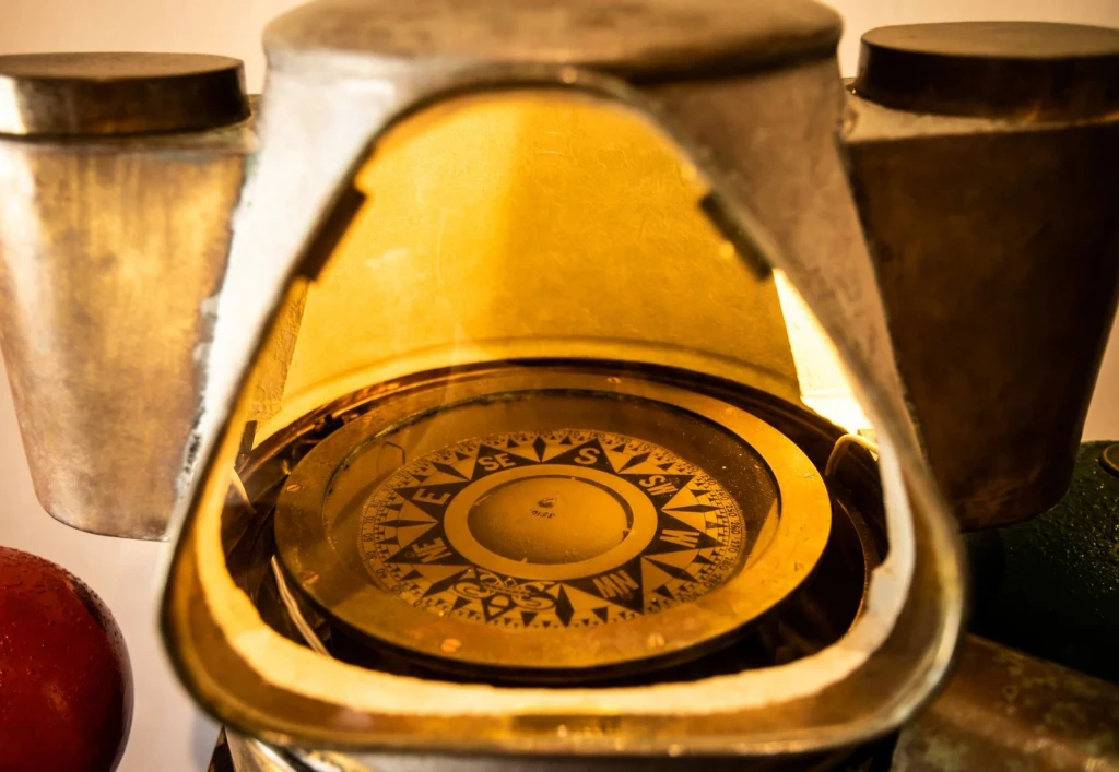
An antique brass compass, intricately detailed and worn by time. A navigator's tool for finding direction beneath the stars.
Photograph by alexandre saraiva carniato, via Pexels.
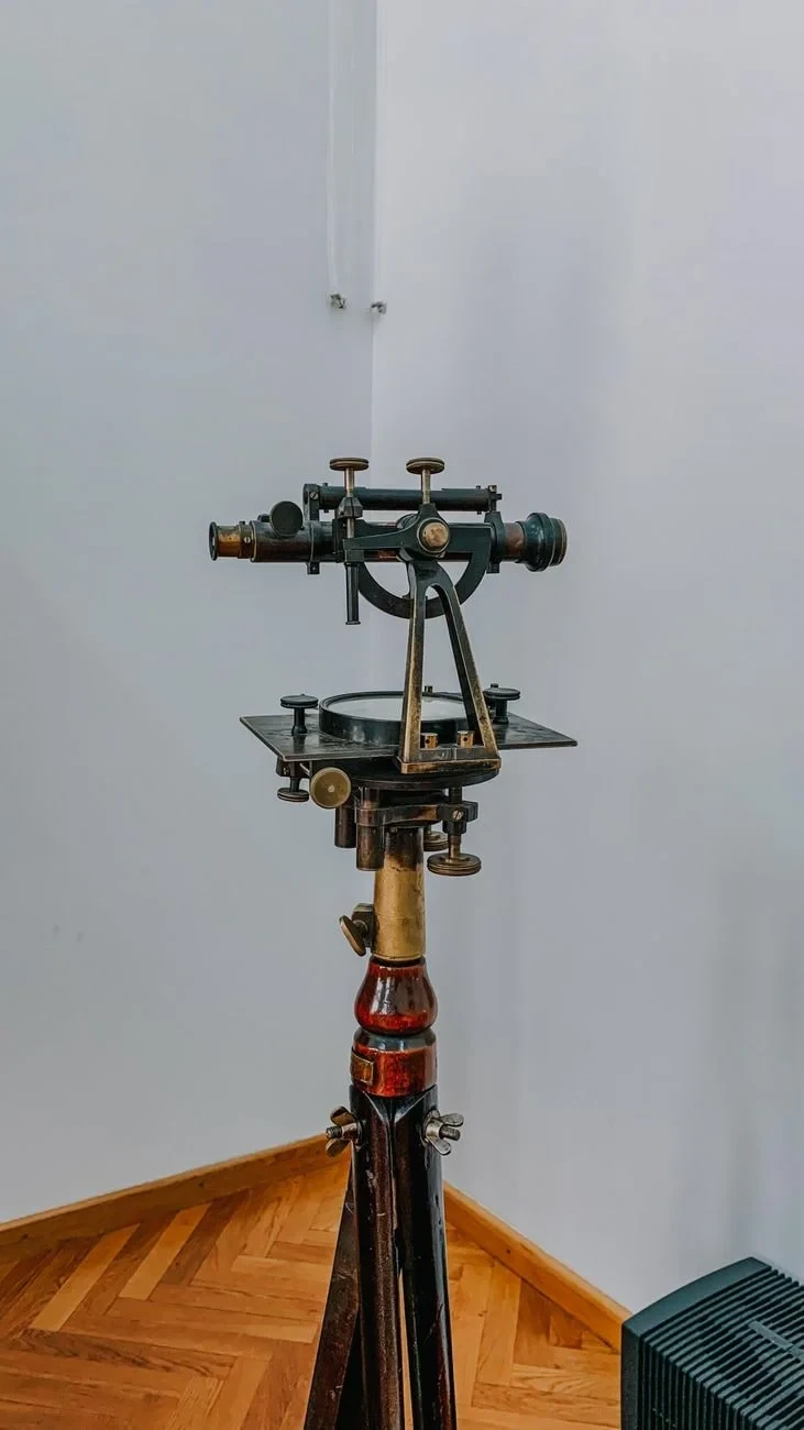
A surveying instrument that speaks to humanity's drive to map and measure. Precision engineering built to guide those charting unknown territories.
Photograph by Diana ✨, via Pexels.
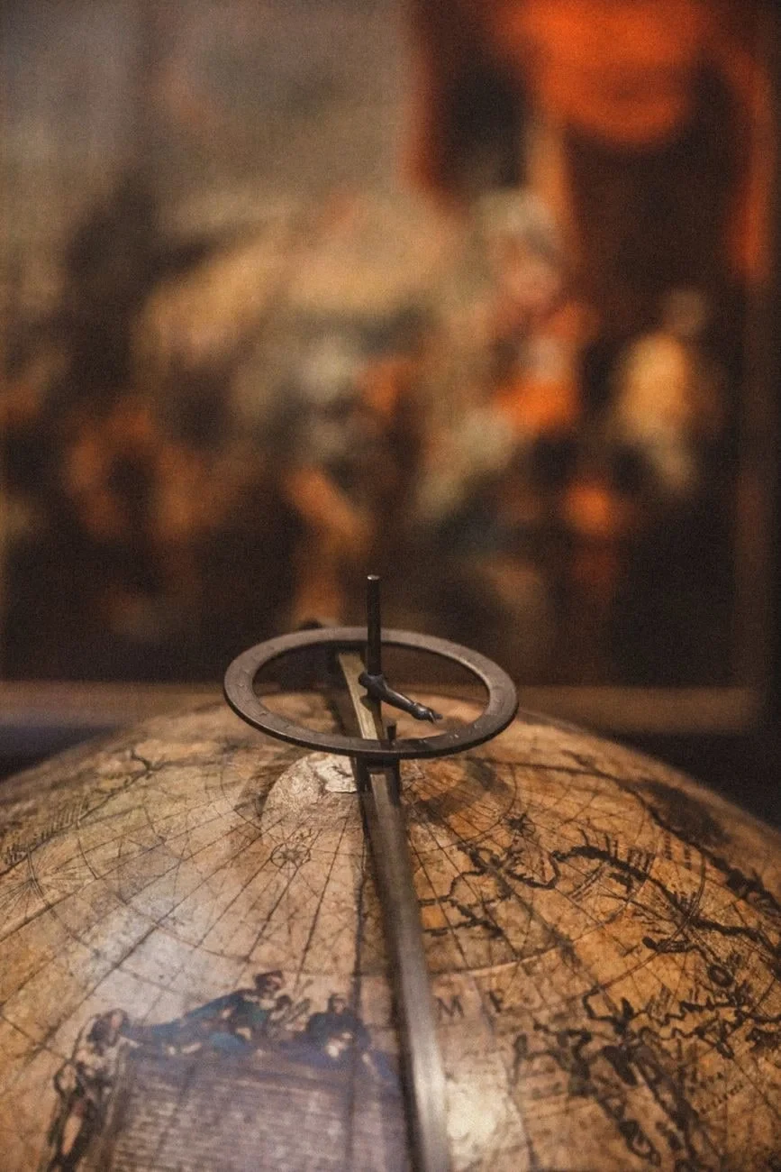
A vintage globe suggests worlds waiting to be explored. Art and geography blur together in this study of wanderlust.
Photograph by Alina Rossoshanska, via Pexels.
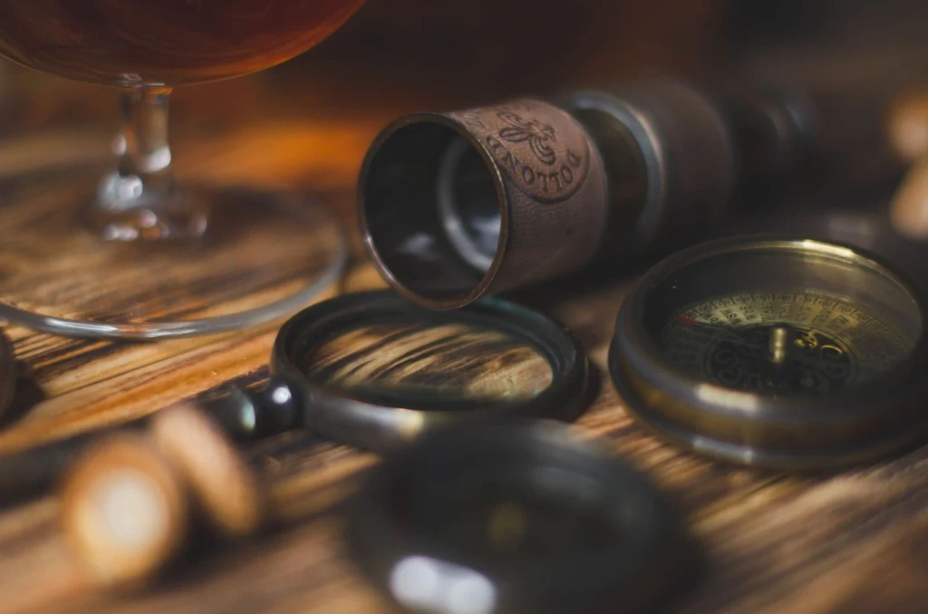
Compass and telescope lying together on weathered wood. These twin instruments represent the marriage of magnetic and celestial navigation.
Photograph by Nika Benedictova, via Pexels.
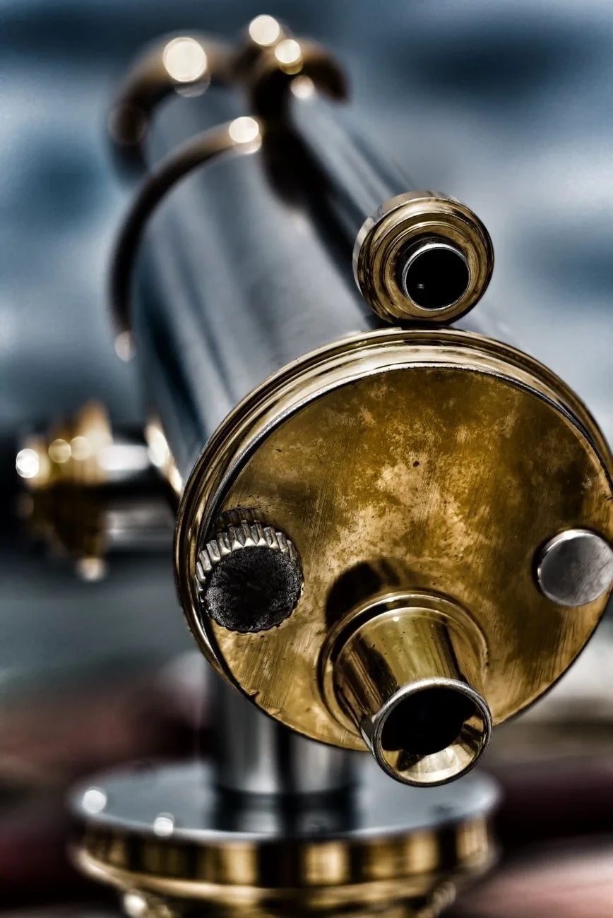
Crafted metal and glass engineered to extend human sight. This instrument of precision connected sailors to the constellations that guided them home.
Photograph by Furlin Chin, via Pexels.
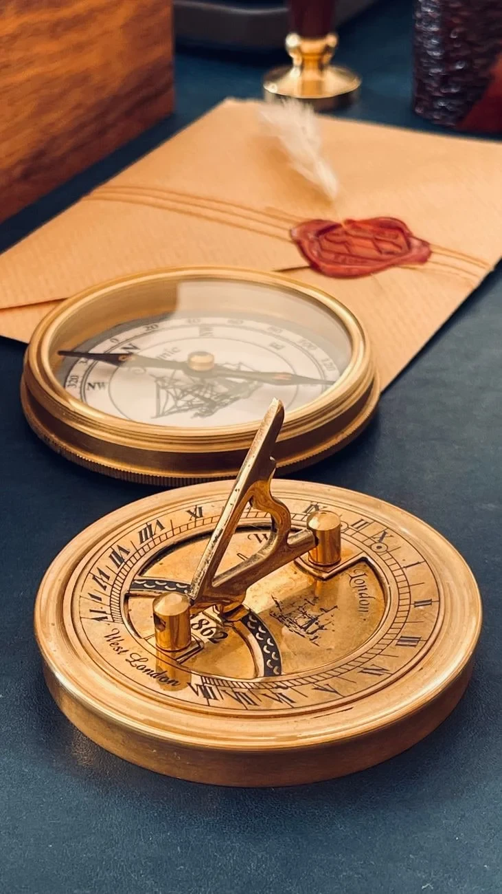
Time and direction preserved together. These tools remind us that navigation required reading both the heavens and the earth's magnetism.
Photograph by Moein Moradi, via Pexels.
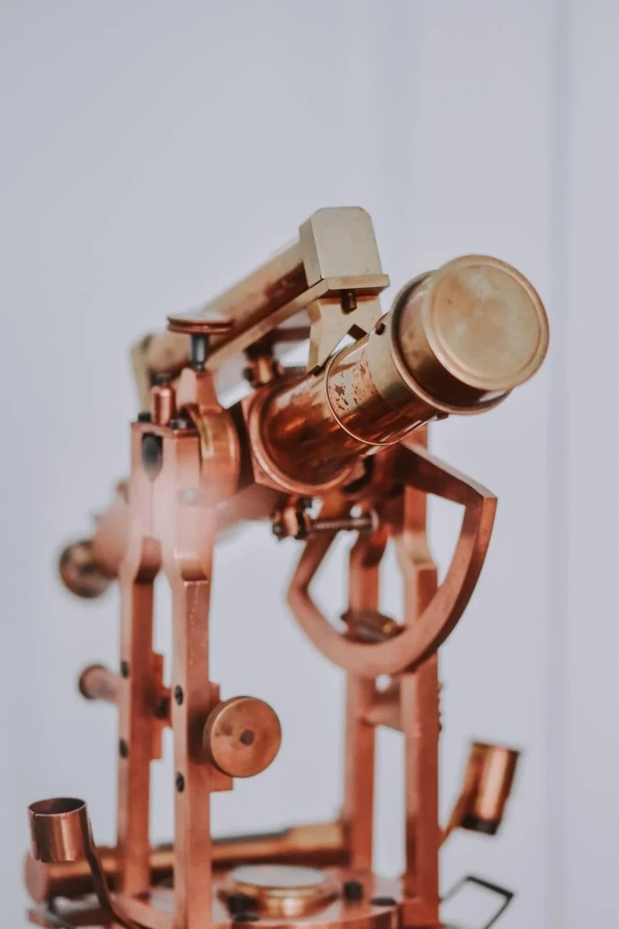
A vintage brass telescope, intricately crafted. One instrument among many used to observe the heavens and navigate by their light.
Photograph by Diana ✨, via Pexels.
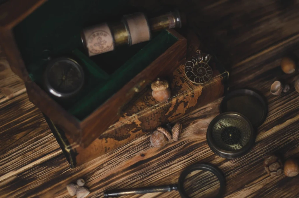
Vintage navigation instruments gathered on a wooden surface. A collection of devices built to guide sailors across darkness and distance.
Photograph by Nika Benedictova, via Pexels.
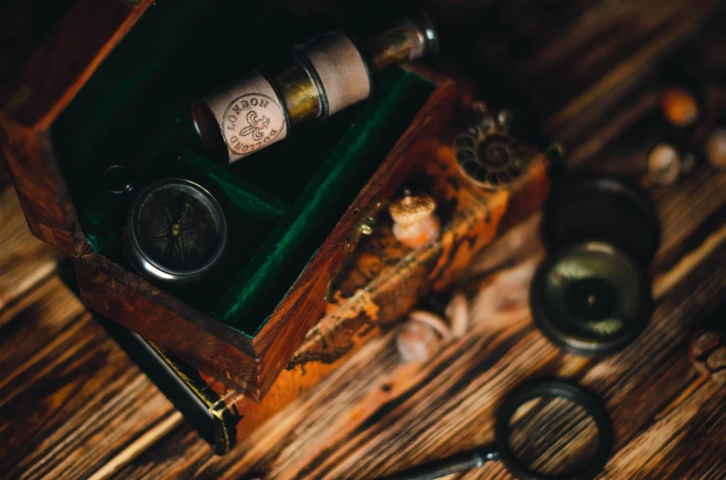
Compass and telescope rest on wood. These tools represent the precision required to sail by observation and calculation.
Photograph by Nika Benedictova, via Pexels.
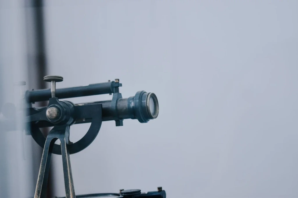
A magnifying lens designed to bring distant stars closer. The intricacy of its metal and glass enabled navigation by celestial bodies.
Photograph by Diana ✨, via Pexels.
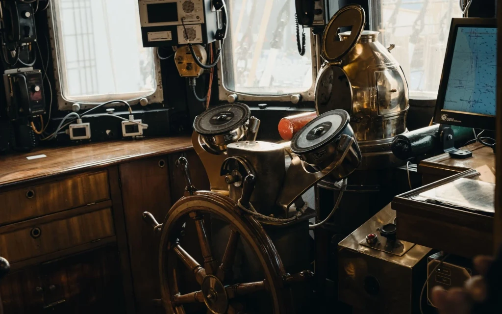
The steering wheel at the heart of maritime navigation. Instruments surround it, each essential to keeping a vessel true under starlight.
Photograph by Akhil Dasari, via Pexels.
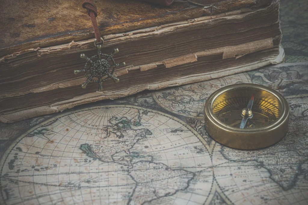
An antique map, compass, and book arranged together. Objects that speak to historical navigation and the long tradition of charting unknown waters.
Photograph by Ylanite Koppens, via Pexels.
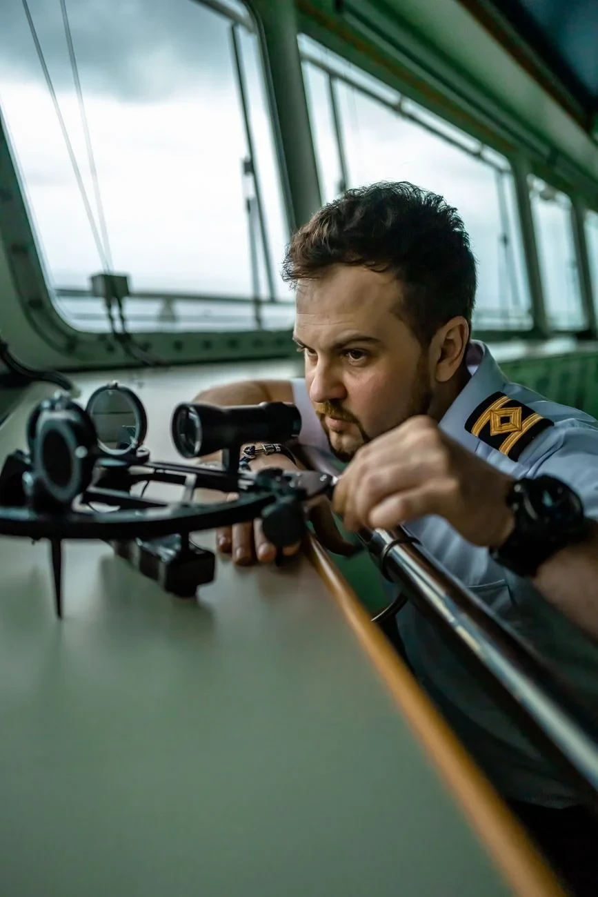
A sailor uses a sextant to navigate. The photograph captures the practice of reading stars and horizon to find one's way at sea.
Photograph by jefe king, via Pexels.
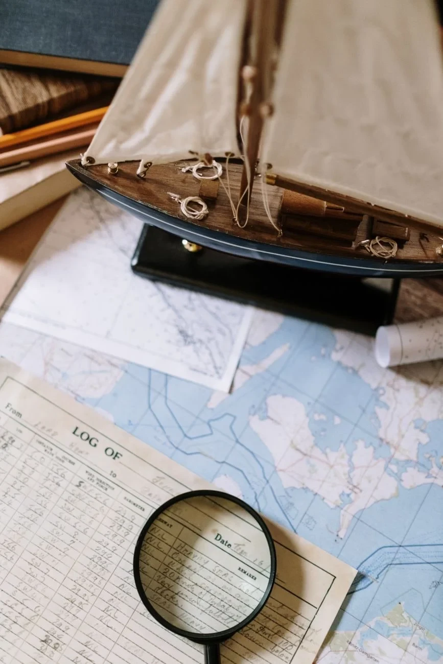
Nautical maps spread beneath a magnifying glass, with a model ship nearby. Objects arranged to evoke the planning behind every voyage.
Photograph by cottonbro studio, via Pexels.
