3D Gallery
Sundials to Satellites: How We Tell Where We Are
Enter gallery
Sundials to Satellites: How We Tell Where We Are is a 3D virtual gallery on MyGallery3D, a walkable online exhibition of 14 works. Step inside and explore it in your browser: no app, no headset.
Walk through this 3D virtual museum of navigation in your browser and follow one idea from a rod stuck in the ground to a signal falling out of orbit.
Every method of finding your position, from a lunar eclipse to a satellite, comes down to comparing two clocks. A difference of 15 degrees of longitude is exactly one hour of local time. The system in your pocket exists because of a navigational error: after Korean Air Lines Flight 007, carrying 269 people, strayed into Soviet airspace and was shot down in 1983, Ronald Reagan ordered GPS opened to civilians.
Around 240 BC, working in Alexandria, Eratosthenes estimated the circumference of the Earth from the length of a shadow. A vertical rod, a gnomon, showed the Sun's rays at Alexandria leaning about 7.2 degrees from vertical at the summer solstice, one fiftieth of a circle, while at Syene the Sun stood overhead. Fifty times the distance between the two cities gave him the planet.
At sea the problem was cruel: a navigator needs an answer immediately, and pendulum clocks do not work in an ocean swell. The Longitude Act, passed by the British parliament in 1714, put money on a solution. John Harrison, a Yorkshire carpenter and clock-maker, built five chronometers over more than three decades and had to fight for the top reward of 20,000 pounds, receiving a final payment in 1773.
A GPS receiver does not talk back. It listens to four satellites, reads the time each signal left, and turns the delays into distances. That only works if the clocks agree, so each satellite carries an atomic clock. Relativity makes those clocks gain about 38 microseconds a day, and the design corrects for it. Until May 1, 2000, the civilian signal was deliberately degraded.
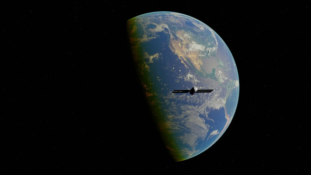
A digital representation of Earth includes a satellite and the surrounding universe. This image bridges human imagination with our modern navigation systems.
Photograph by Zelch Csaba, via Pexels.
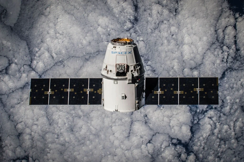
Advanced spacecraft technology hovers above Earth with clouds below. The image represents a chapter in how we've learned to position ourselves in space to track our location and movements.
Photograph by SpaceX, via Pexels.
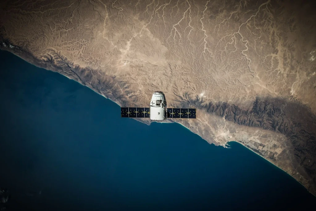
A satellite hovers above Earth's coastline. The image demonstrates how satellites have become tools for understanding geography and location from above.
Photograph by SpaceX, via Pexels.
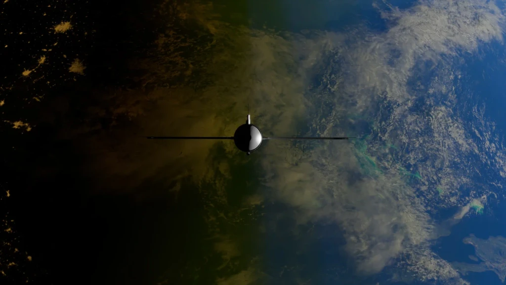
A satellite orbits Earth, emphasizing the contrast between ocean and land. From this vantage point, the natural boundaries that help us locate ourselves become starkly visible.
Photograph by Zelch Csaba, via Pexels.
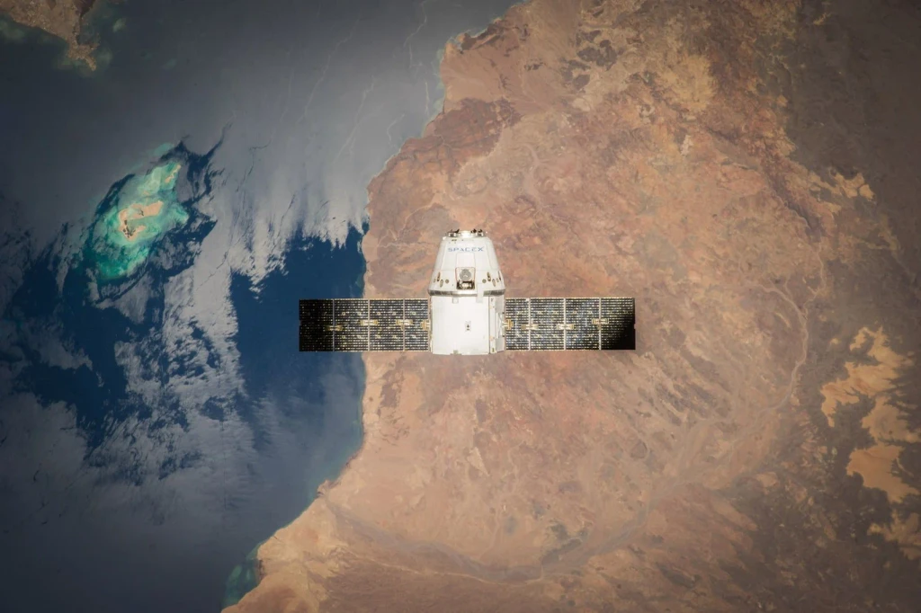
A detailed view of Earth and ocean unfolds beneath an orbiting satellite. The image shows how we've learned to see our world from distances once impossible.
Photograph by SpaceX, via Pexels.
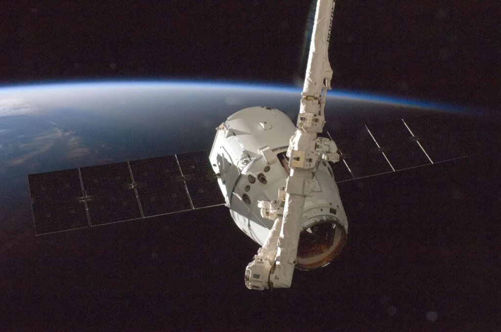
A satellite circles above Earth's surface. From space, our methods of navigation have evolved from reading the heavens to commanding machines among the stars.
Photograph by SpaceX, via Pexels.
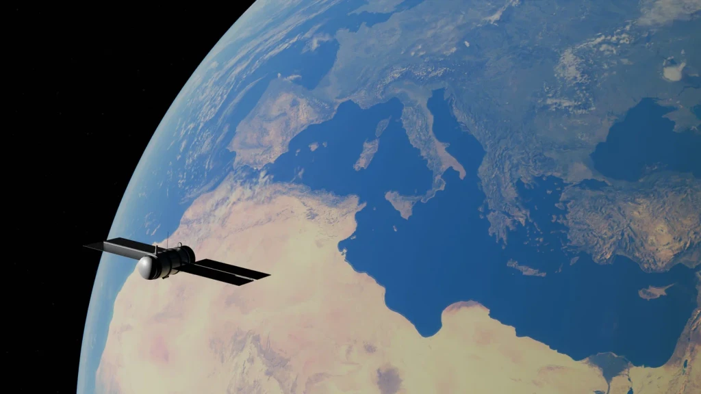
A satellite circles above the Mediterranean Sea and its surrounding continents. From this orbital perspective, the exhibition's theme becomes clear: we now locate ourselves using machines that circle the globe.
Photograph by Zelch Csaba, via Pexels.
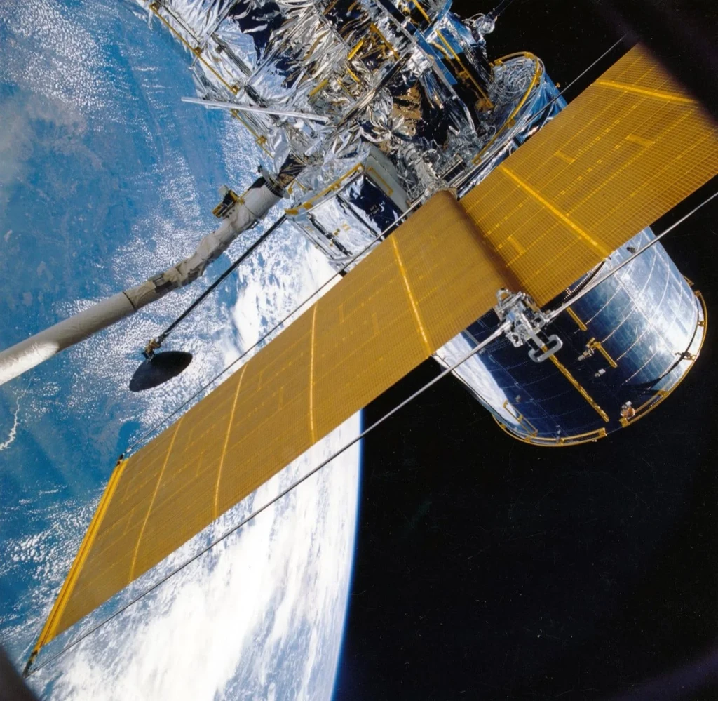
A spacecraft with solar panels orbits above our world. This photograph shows the technology we've deployed to power our efforts to see and navigate from the heavens.
Photograph by Pixabay, via Pexels.
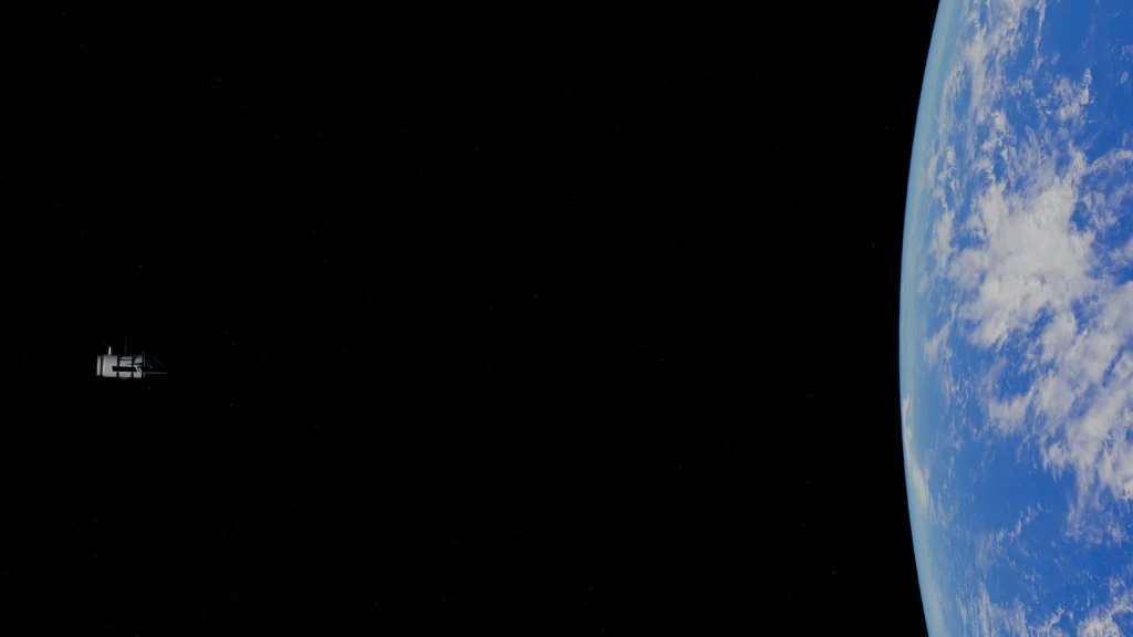
A distant satellite frames our planet against the void of space. This image speaks to humanity's journey from earthbound observation to becoming watchers in the cosmos.
Photograph by Zelch Csaba, via Pexels.
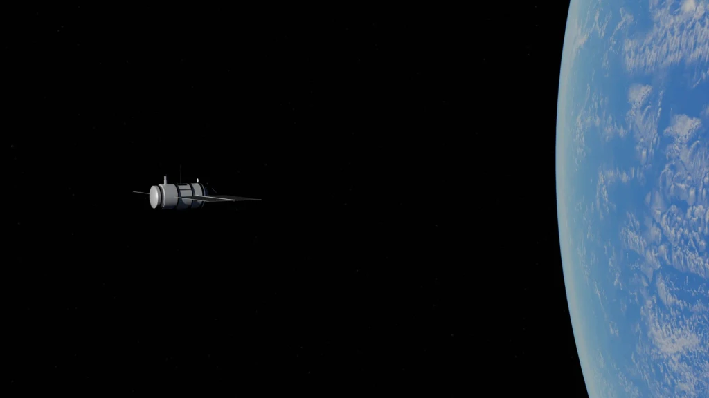
A satellite moves through the immensity of space, with Earth below. The photograph captures a moment when our technology began extending our reach far beyond the ground.
Photograph by Zelch Csaba, via Pexels.
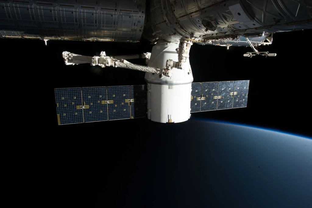
A spacecraft hovers above Earth's horizon. Advanced technology now positions us to track our location with precision once unimaginable.
Photograph by SpaceX, via Pexels.
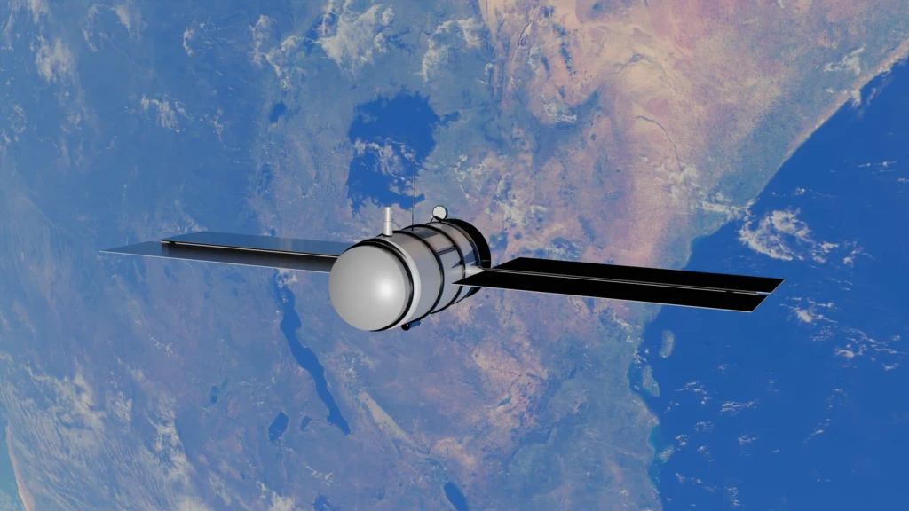
A satellite orbits above the blue ocean and continents below. The image captures how we now determine location using machines in the sky rather than tools on the ground.
Photograph by Zelch Csaba, via Pexels.
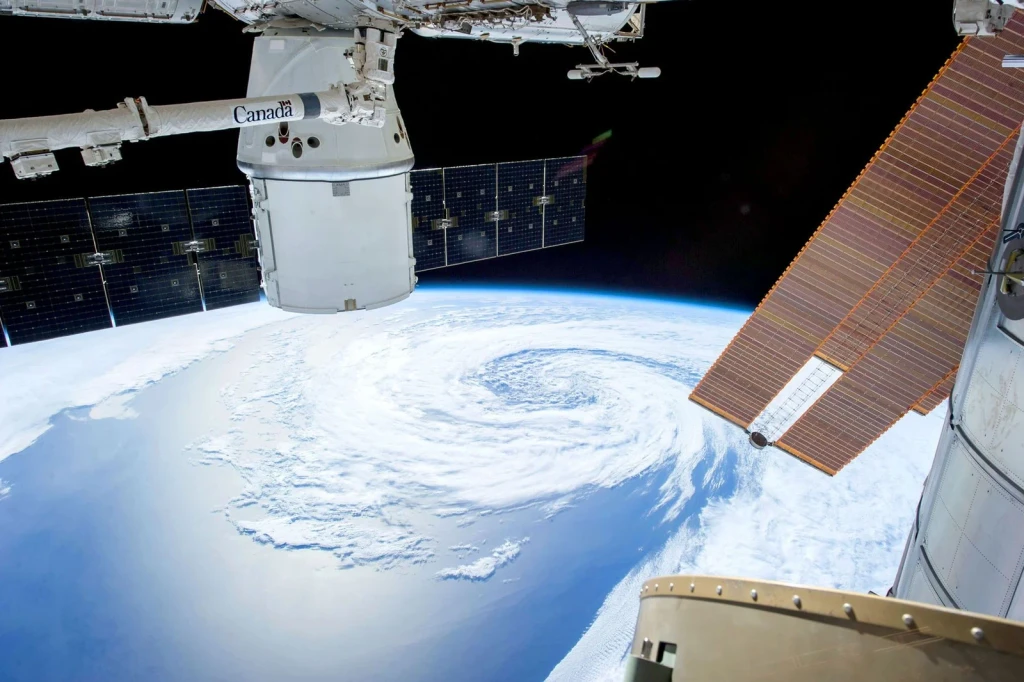
Solar panels and satellite modules frame a mesmerizing view of Earth. The photograph documents the infrastructure we've built to observe and understand our planet from orbit.
Photograph by SpaceX, via Pexels.
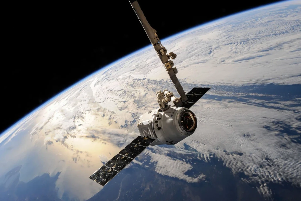
A satellite passes over dramatic cloud formations stretching across Earth. This image shows how modern orbital technology lets us observe our planet from the vantage point once reserved for the heavens.
Photograph by SpaceX, via Pexels.
